Researching the history of a Chicago neighborhood works best when you stop thinking in terms of institutions and start thinking in terms of questions. Instead of asking "where should I look?", ask "who lived here?", "what did this block look like in 1920?", and "what happened here?" — then match each question to the specific resource built to answer it. Chicago is unusually well served for this kind of research: its major museums, libraries, and universities maintain free digital portals, digitized map collections, and searchable archives that make a systematic neighborhood investigation possible from home, supplemented by physical collections for deeper work.
Understanding Chicago Neighborhoods: Starting Your Research
Before searching any archive, define what you mean by "your" neighborhood, because Chicago is divided in several overlapping ways. The Chicago History Museum distinguishes between the idea of a neighborhood — a conceptual identity — and physical or political boundaries used for specific purposes, noting that the city is commonly divided three ways: neighborhoods, community areas, and wards. Wards are purely political: the city is divided into 50 voting districts that establish 50 City Council seats, and those boundaries have shifted repeatedly over time.
For research purposes, the community area is usually the most useful unit, because many archives and datasets are organized by it. The Art Institute of Chicago's research guide points to the City of Chicago's Official Community Area map as a starting point, and recommends the Encyclopedia of Chicago for entries that include historical details, significant events and people, demographic information, and bibliographies for further reading. A print companion, Chicago Neighborhoods and Suburbs, extends the same coverage to commuter-rail-connected towns beyond the city limits. Reading an overview entry first gives you the names, dates, and events that make every later search more productive.
Chicago Neighborhood History Research Framework
The table below maps the most common historical questions to the resource types and specific tools best suited to answer them. Use it to plan each stage of your project: identify your question in the left column, then go directly to the recommended tool rather than browsing archives at random.
| Research question | Resource type | Key tools and archives |
|---|---|---|
| Where is this neighborhood, and what is its overall story? | Official maps and historical overviews | City of Chicago Official Community Area map; Encyclopedia of Chicago; Chicago Neighborhoods and Suburbs (print) |
| Who lived here, and how did the population change? | Census data, city directories, and location-based lookup tools | A Look at Cook (historic ward boundaries and census enumeration districts); Chicago Ancestors; Newberry Library city directories |
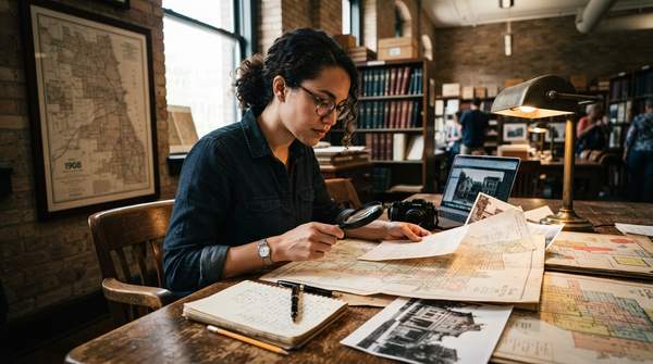
| What did the built environment look like, and how did it change? | Fire insurance atlases, photographs, and architectural surveys | Sanborn fire insurance atlases via the Chicago Urban Heritage Project; Chicago Historic Resources Survey; Chicago Public Library Digital Collections; Ryerson & Burnham Archives |
| What significant events happened here? | Newspaper archives, timelines, and subject searches | Illinois Digital Newspaper Collections; Chicago Public Library's Chicago History Timeline; Newberry Library subject searches on events such as the Great Fire of 1871 |
| Where are the primary sources held? | Cross-institution search portals and library catalogs | Explore Chicago Collections (searches more than 20 Chicago-area cultural institutions); Newberry Library catalog; article databases searched by neighborhood plus subject term |
The framework's logic is that each resource type produces a different kind of evidence. A Sanborn atlas documents a building's construction, location, use, and purpose; a city directory documents who occupied it; a newspaper documents what happened around it. A complete neighborhood narrative combines at least two of these evidence types.